
DISTANCE
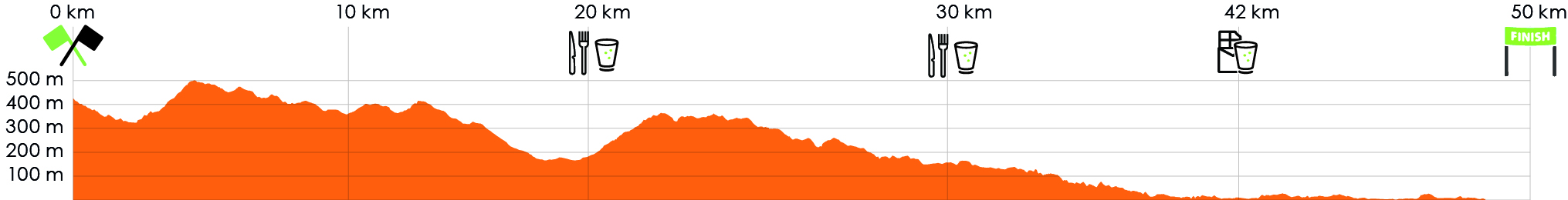
50.5 km
![]()
![]()
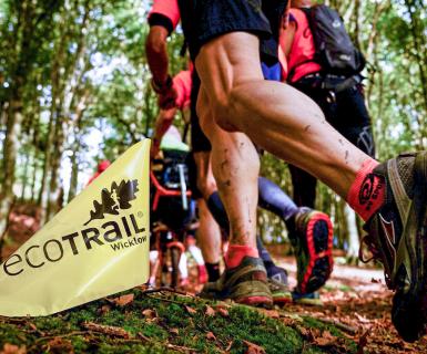
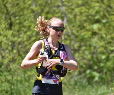
The 50 km is the perfect Ultra distance for both experienced runners and debutants to races longer than Marathon or even newbies that want a combination of nature and a long distance excerise.
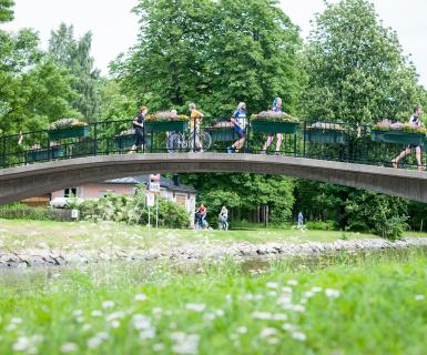
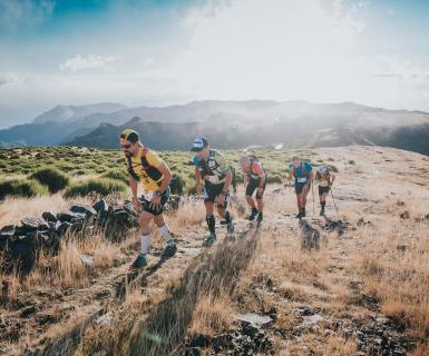
The course combines dirt roads and technical trail. Running from the start with a panorama view over Oslo , ecotrailers will reach Holmenkollen ski jump, Norway´s biggest tourist attraction.
CUT OFF TIMES AND SUPPORT STATIONS:
Support station Sørkedalen - after 18km from start (same area as 31km start) closing 4PM
Support station Fossum - after 28 km from start (same area as 21km start) closing 5PM
Water station Thaugland - .approx 8,5 km before finish - water/sportsdrink station for all distances - closing 7PM
Bygdøy - last intermediate for all distancesr (5 km before finish) closing 7.30 PM*
Finish: 8PM. We acccept timing till 8:30 PM
Support within the support stations only. See FAQ for the location of the stations and what to eat/drink.
 |
You must pick up your bib/start number at Anton Sport. Please go to "Bib distribution" for further information. |
| Toilets. Urinals. Lugagge transport to finish line. Small bag only! |
| By the beach at HUK/Bygdøy. Water, sport drinks. Snack. Luggage.Toilets. Awards. Music. Outdoor shower. Picnic. |
 |
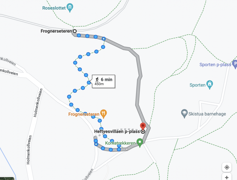
Start area in Holmenkollen. Subway Line 1 to Frognerseteren station. Use the journey planner app called Ruter. Walk down approx 450 meters to start area called Thomas Heftye Villa. See Google maps. |
BRING LIQUID:
YOUR TIME to first station, approx 18 KM: