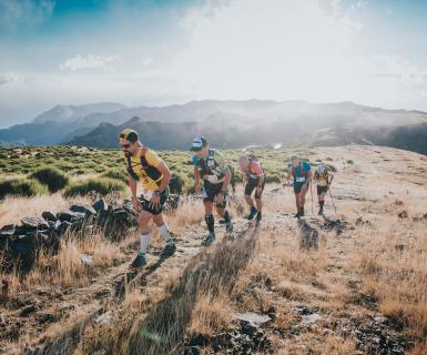
If you take a close look at the profile for the 31 km course, you will hopefully get an idea about taking it easy from start. The first 3 km from Sørkedalen is pretty tough. After climbing the first kilometeters on gravel road you will enter technical paths through a beautiful forest..
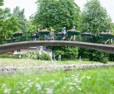
After 10 k you´ll find the only service station with food for the 31 km, before you continue by the pretty lake Bogstadvannet and down by the beautiful Lysaker river with technical trails.
The last 10km is by the Oslofjord - gravel roads + some asphalt. Finisher line by the beach at Huk, Bygdøy.
CUT OFF TIMES AND SUPPORT STATIONS:
Support station Fossum after 10 km from start (same area as 21km start) closing 5PM
Water station Thaugland - approx 8,5 km before finish - water/sportsdrink and sweets for all distances - closing 7PM
Bygdøy - last intermediate for all distancesr (5 km before finish) closing 7:30 PM
Finish: 8PM
SUPPORT: Within the support stations only.
The Track
 |
Bib distribution at Anton Sport. Please go to "Bib distribution" for further information. |
| Toilets. Urinals. Lugagge transport to Finish line. Small bag only! |
| By the beach at HUK/Bygdøy. Water, sport drinks. Snack. Luggage.Toilets. Awards. Music. Outdoor shower. Picnic. |
 |
Start at Sørkedalen Idrettsanlegg. Address: Heikampveien 960. First you have to take the subway to Røa T (subway station) (Line 2). Use the journey planner app called Ruter. |
 |
Then Transfer to public bus number 41 to start area. The bus stops across the start area is called "Lokalet". In addition to this public bus, we will have fossile free shuttle buses from the bust stop called Røa Kirke- the same bus stop as bus number 41. See map below. Meet up early! The first departure is 9:30. |
 |
Mandatory Equipment
- Liquid
- Cup/Your own drinking system
- Nutrition
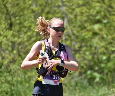
BRING LIQUID FOR ESTIMATED TIME USED TO FIRST STATION, 10Km:

